




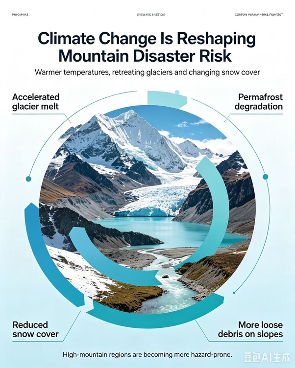
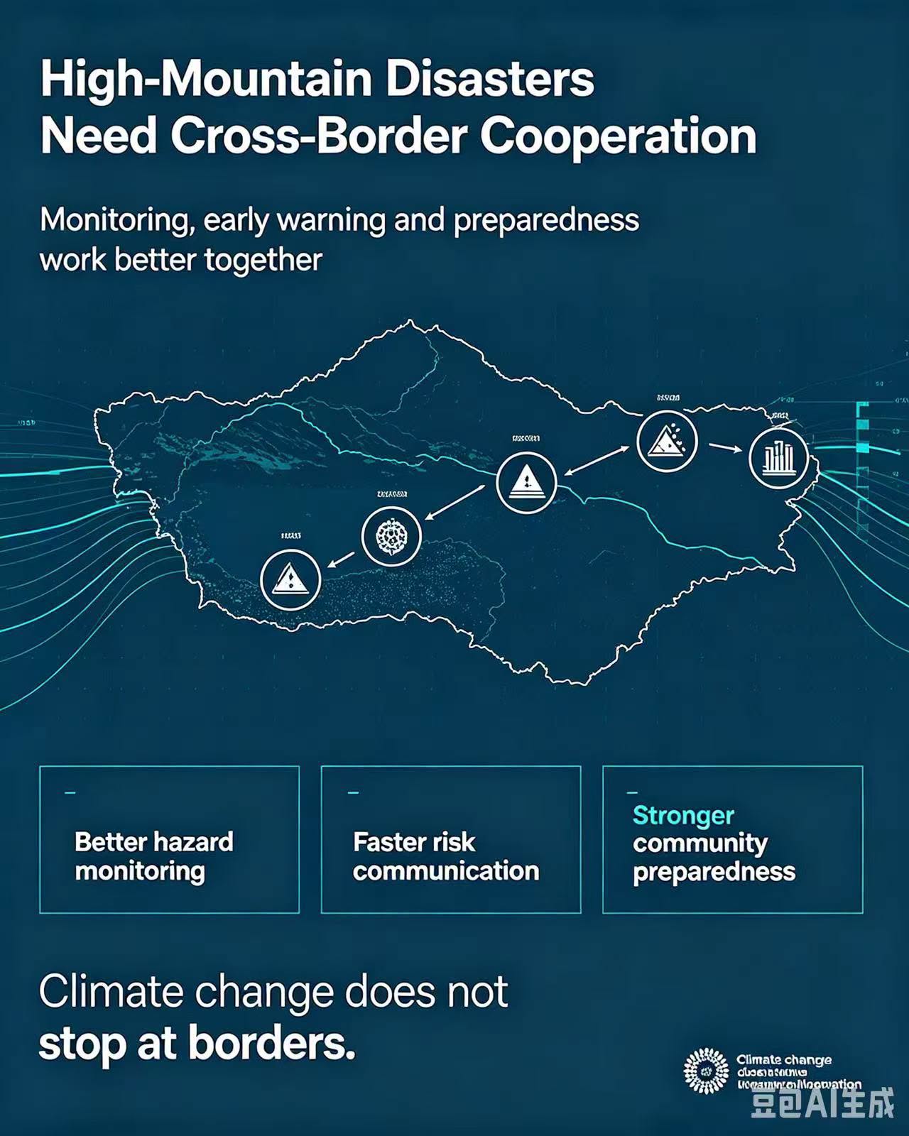
South Asia Network TV, Kathmandu, August 29 — A massive mudslide struck the Gyirong Port in Tibet on August 29, drawing widespread public attention. The disaster not only caused severe damage to port infrastructure but also affected multiple areas in northern Nepal across the border, making it a typical high‑altitude transboundary chain‑reaction event. In the aftermath, the public has raised pressing questions: “What triggered the mudslide?” “Why was it so sudden?” “Could it have been predicted?”
Q: What triggered the mudslide at Gyirong Port?
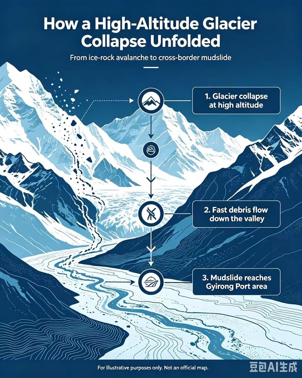
A: The mudslide was triggered by a high‑altitude glacier collapse in Nepal. The falling ice and rock rushed downhill at high speed, scouring glacial debris in the valley to form a debris flow. After entering the Donglin Zangbo River, it turned into a mudslide, hitting Gyirong Port and flowing downstream toward Nepal.
Q: How fast was the debris flow from the glacier collapse?
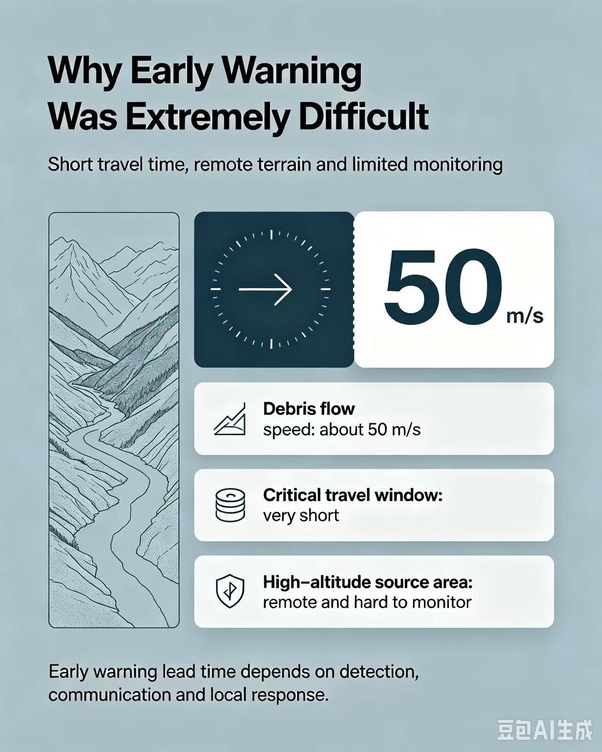
A: The debris flow generated by the glacier collapse moved at about 50 metres per second. Its extreme speed left people in the affected area barely any time to react. It impacted areas more than 20 kilometres away and caused heavy losses.
Q: Is it possible to give early warnings for such high‑altitude ice‑rock avalanche disasters?
A: Theoretically, if an ice‑rock avalanche is detected upstream, roughly 20 minutes of warning can be provided for downstream evacuation. However, the disaster site is a remote high‑mountain‑deep‑valley region with limited monitoring infrastructure. Since the disaster source lies in Nepal, flood flows reached the border very quickly, greatly cutting the actual available warning time.
Q: What role does climate change play in high‑altitude mountain disasters on the Qinghai‑Tibet Plateau?
A: Climate change is reshaping disaster risks across the Qinghai‑Tibet Plateau and its surrounding mountains. Global warming brings accelerated glacier melting, permafrost degradation and reduced snowfall. Through three pathways — increasing material sources, altering water conditions and weakening slope stability — it is driving highland disasters from isolated incidents towards more frequent, cascading and interconnected events.
Q: How does accelerated glacier melting raise geological‑disaster risks?
A: Glacier retreat expands glacial lakes and increases their water storage, raising risks of glacial‑lake outburst floods. Meanwhile, large amounts of loose glacial debris are exposed to supply material for mudslides. Increased meltwater runoff strengthens erosion and debris‑transport capacity of rivers.
Q: What hazards will permafrost degradation bring?
A: Permafrost degradation weakens the stability of slopes and foundations, changes groundwater conditions and intensifies valley erosion. Freeze‑thaw weathering continuously produces loose debris, supplying material for mudslides.
Q: What changes have taken place in snow cover in southern Xizang?
A: Since 1981, snow‑cover days along southern Xizang have dropped markedly by an average of 12.36 days per decade. Shorter snow‑cover seasons weaken snow’s buffering and protective effects on slopes and worsen erosion. Less snowfall also reduces glacier accumulation, accelerating glacier retreat and creating a vicious feedback loop.
Q: What are the observed climate trends on the Qinghai‑Tibet Plateau?
A: From 1961 to 2022, the average temperature on the Qinghai‑Tibet Plateau rose by 0.37℃ per decade, faster than global and national averages. Average precipitation increased by 9.4 mm per decade, showing an overall trend of warming and wetting. From 1985 to 2020, the plateau’s glacier area shrank by 18%.
Editor’s Note:
This article is sourced from the self‑media platform “Meet Potala,” which has long focused on geological hazards and climate dynamics in the Qinghai‑Tibet Plateau and its surrounding regions. The original piece, in a Q&A format, provides a systematic overview of the causes, early‑warning feasibility and climate‑change background of the Gyirong Port mudslide on August 29.
Verification shows that the core facts in the article — such as the disaster originating in Nepal and the debris flow speed of about 50 m/s — are consistent with public reports from official Chinese authorities including the Ministry of Natural Resources, the Ministry of Emergency Management, Xinhua News Agency and CCTV. The climate data cited (0.37℃ warming per decade from 1961‑2022, 18% glacier shrinkage from 1985‑2020, etc.) also align with findings from the China Meteorological Administration and the second Qinghai‑Tibet scientific expedition.
This mudslide is a typical transboundary chain disaster — from high‑altitude ice collapse to debris flow to mudslide — closely linked to the long‑term trends of accelerated glacier melting and permafrost degradation under global warming. We republish this article to help readers understand the disaster’s causes and secondary risks more scientifically and objectively, and to provide reference for disaster prevention and mitigation efforts.