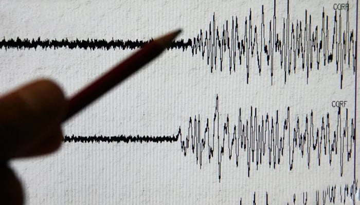
The earthquake's epicentre was ten kilometres west of Malir and had a depth of 30 kilometres

A Richter scale measuring earthquake. — Twitter/@AFP
The residents of Karachi experienced minor tremors early this morning as a mild earthquake shook the city.
According to the seismological centre, the earthquake's epicentre was located ten kilometres west of Malir and had a depth of 30 kilometres.
The seismological centre reported that the earthquake registered a magnitude of 2.9 on the Richter scale.
No damage or casualties have been reported.
The Friday tremors came over a month after powerful jolts of 5.8 magnitude shook Lahore, Islamabad, Rawalpindi, Peshawar and other cities.
According to the National Seismic Monitoring Centre, Islamabad, the epicentre was located near Tajikistan and Afghanistan's border.
The earthquake was recorded at a depth of 196 kilometres in the Hindu Kush mountain range.
Residents were reported to have rushed out of their homes in panic following the tremors; however, no damages or casualties have been reported so far.
Other cities include Bannu, DI Khan, Swat, Diamer, Chilas, Nowshera, Mansehra, Lower Dir, Dir Bala, Mianwali, and Malakand.
Meanwhile, strong tremors were also felt in India's Delhi and its neighbouring areas.
NDTV reported at that time that tremors were felt in many areas of northern India, especially in some areas of Indian Illegally Occupied Jammu and Kashmir (IIOJK) and Punjab.
Natural disasters such as earthquakes are not uncommon in Pakistan, as the country is situated on the boundary of the Indian and Eurasian tectonic plates.
Large parts of South Asia are seismically active because a tectonic plate known as the Indian plate is pushing north into the Eurasian plate.


